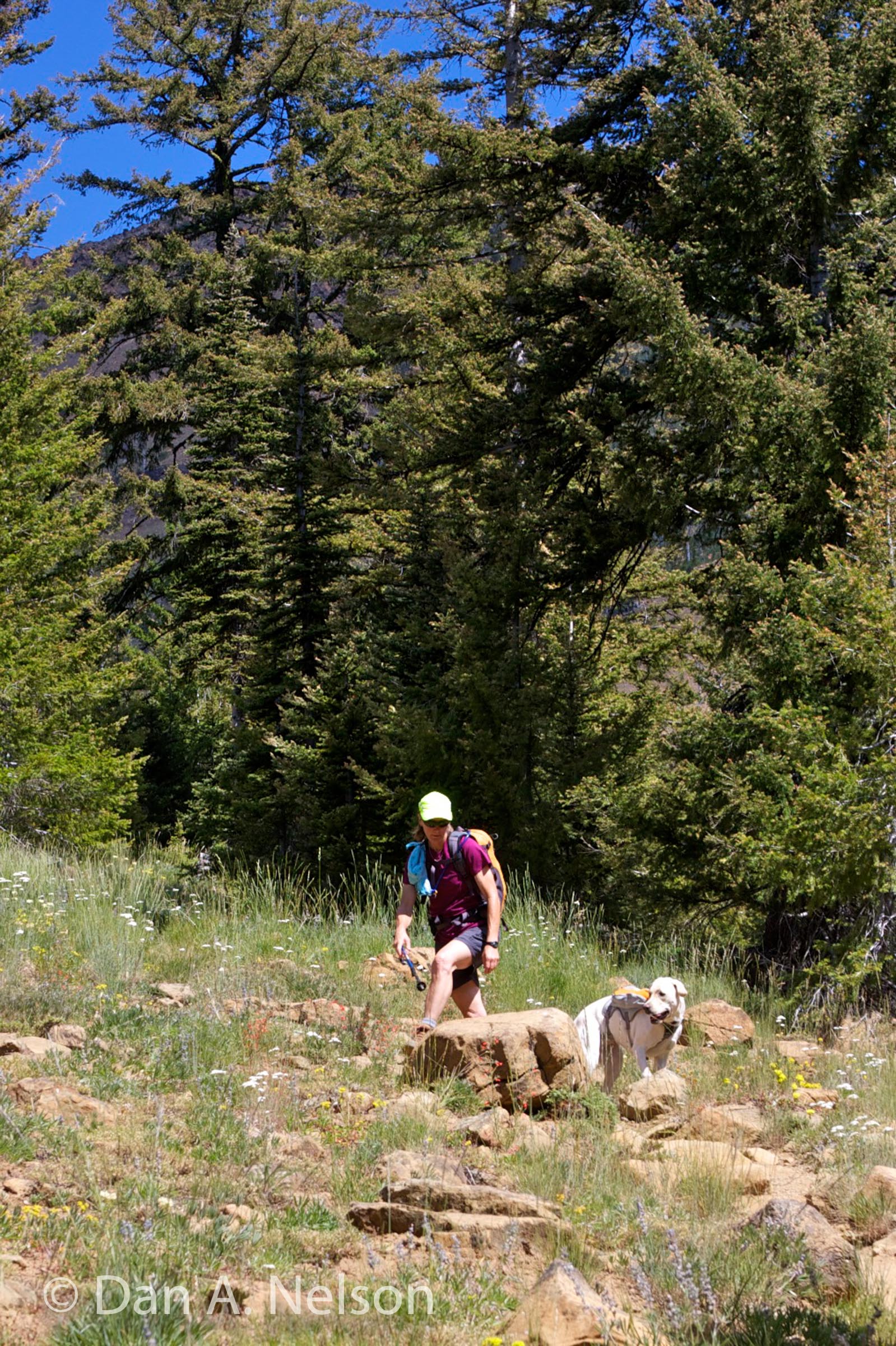
Bean Creek Basin trail climbs through fragrant flower meadows and offers great looks up to surrounding peaks, but even better views of the incredible ponderosa pine forests and dry-side wildflower fields. You’ll find a plethora of blooming plants—wildflowers of all varieties—grace the valley pierced by this trail. An army of wild critters calls the basin home, from mule deer to deer mice, from gray jays to pileated woodpeckers. Note that this is also rattlesnake country, so if hiking with a dog, make sure you have it on a leash or under strict(!) voice control.
- Distance: ~ 8 miles, round-trip (out-and-back)
- Elevation:
- High point – 6,150 feet
- Elevation change – 2,800 feet
- Best Season: June-July or Sept-October
 Start the hiking by crossing Beverly Creek on the stout bridge near the trailhead and climb 0.5 miles alongside Beverly Creek on an old, overgrown roadbed. At 0.5 mile, turn right at the first trail junction, away from Beverly Creek, and start up Bean Creek valley. This trail drives upward through a tight valley, lined lightly with trees and carpeted with bear grass, buckwheat, and other blooming plants under the waving branches of pines and firs.
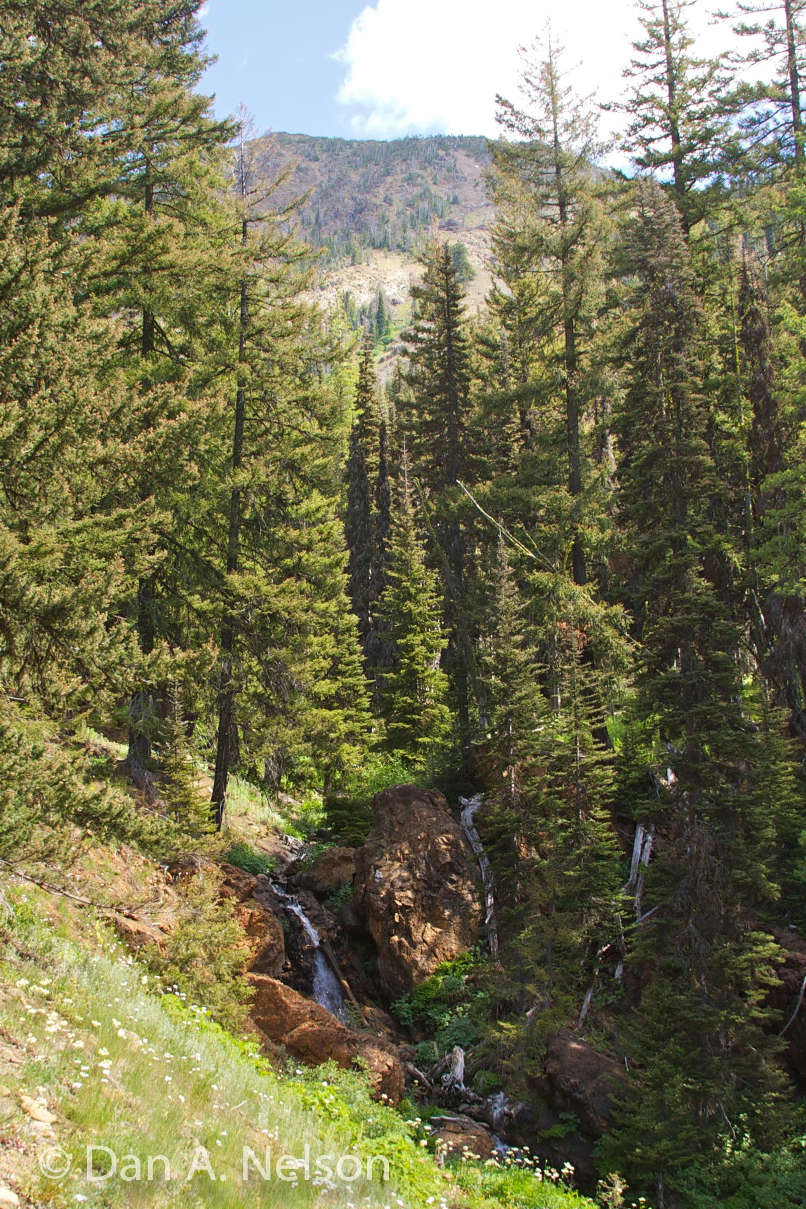
Many of the trees that used to grace this valley can be seen rotting in piles at the bottom of the steep valley—dropped by a violent avalanche some years before. The trail continues a steep climb for nearly a mile, crossing the creek (the water can be fast and tough to wade early in the year when melting snows swell the creek) to access more, cool forest and small forest meadows higher up the valley.
 At 2 miles, as the trail leaves a stand of forest, it erupts onto a broad swath of green, speckled with reds, blues, purples, yellows, and whites—that is, a vast grassy meadow filled with the odoriferous heads of blooming wildflowers. At this point, the trail also forks.
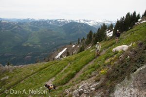
Stay left to climb into the flower fields of Bean Creek Basin. The trail leads to a wonderful camp along the creek, then angles up into a garden of color, dotted with alpine firs and stunted pines. As you ascend the 0.5-mile access trail from the last trail junction, you’ll find the meadows growing larger and the stands of trees growing smaller until finally, the meadows win out and take over all the basin before you. Here, at 2.5 miles and around 5600 feet, you’ll be standing amidst flowers that stretch across scores of acres.
Enjoy the wild meadows, then backtrack a half-mile to that fork at edge of the forest. Turn left (east) and start climbing. The initial ascent is in trees, but as the climb gets more serious, with the trail weaving through a series of switchbacks, the trees give way to steeply sloped meadows. You’ll stroll past so many flowers you’ll feel like you’re in a painting—or a perfume factory. Watch for hummingbirds here as the energetic little things swarm the flower fields in great numbers.
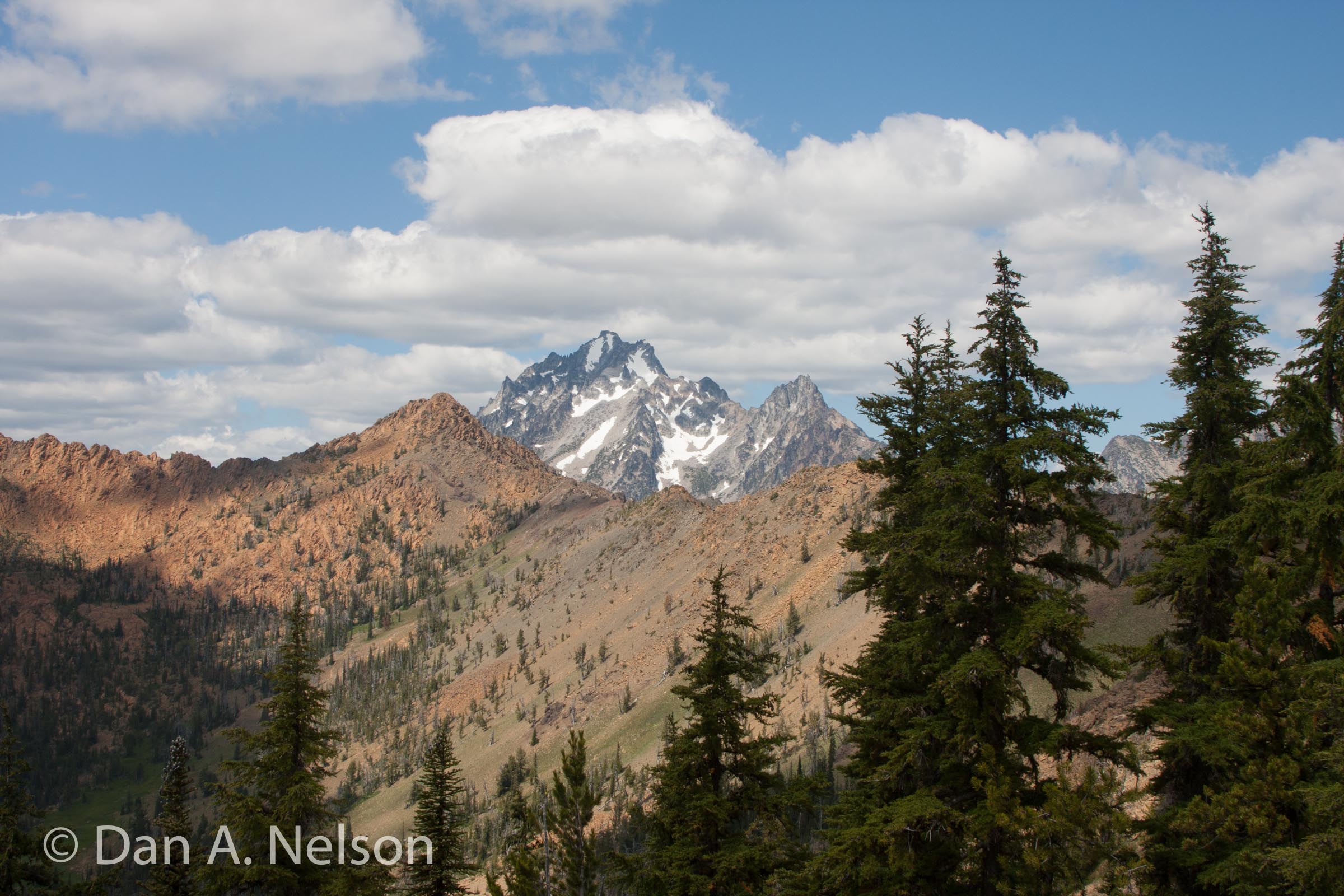
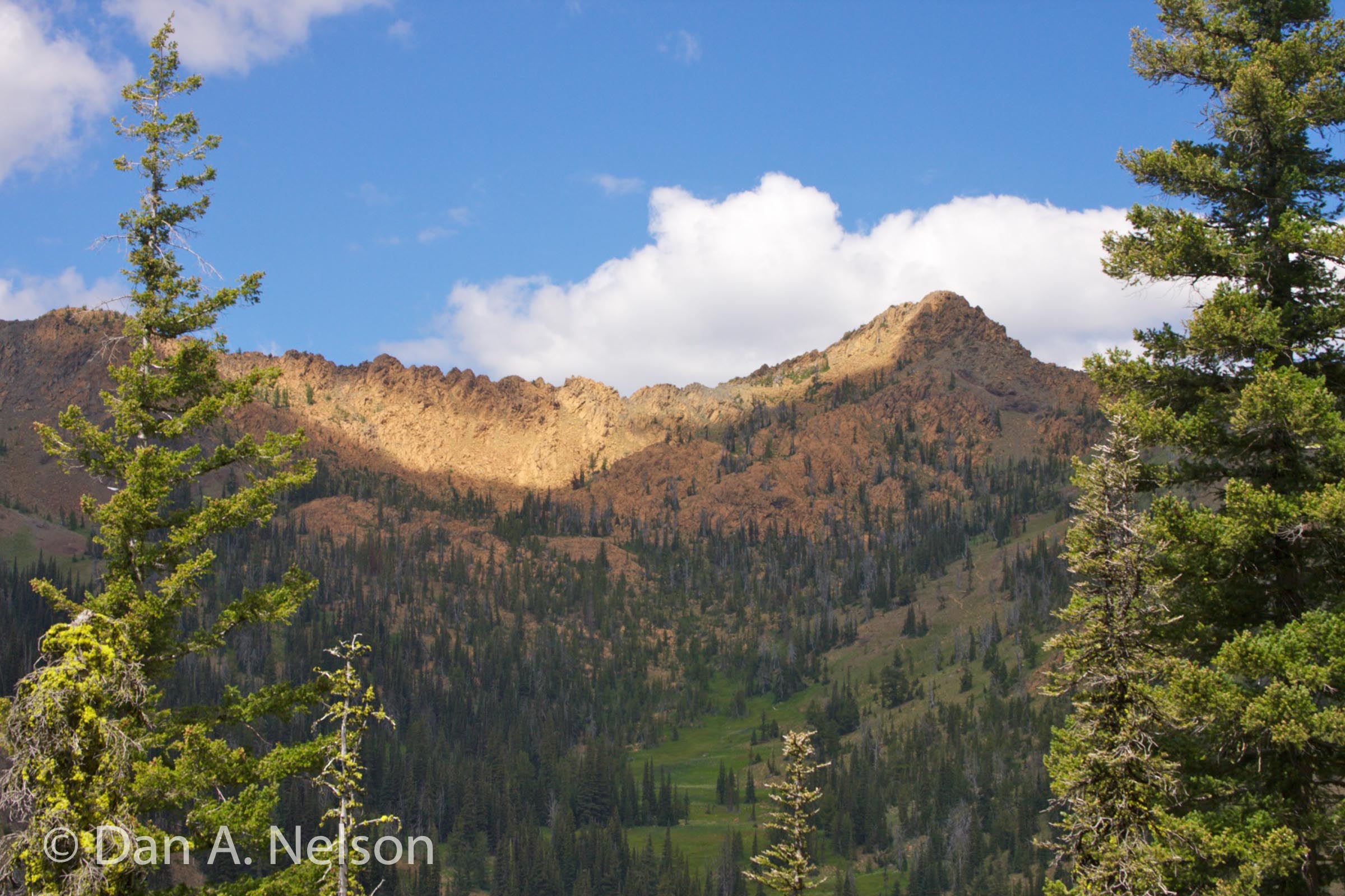
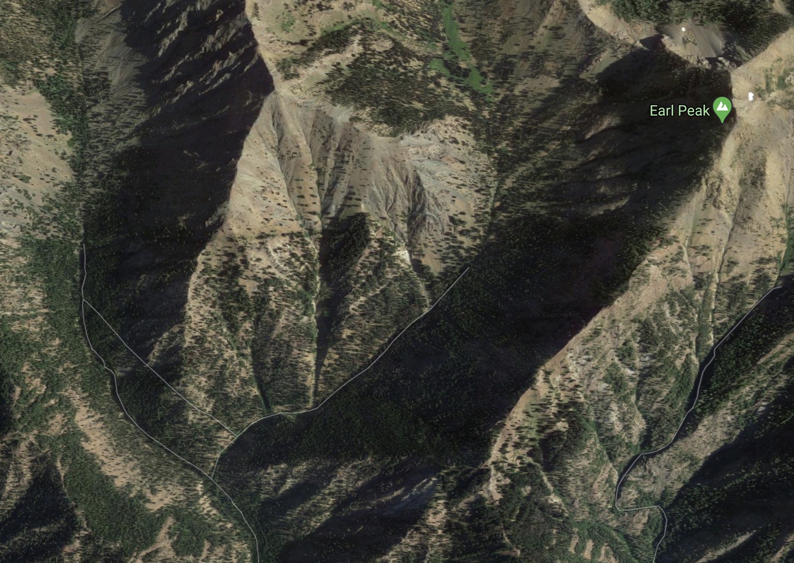
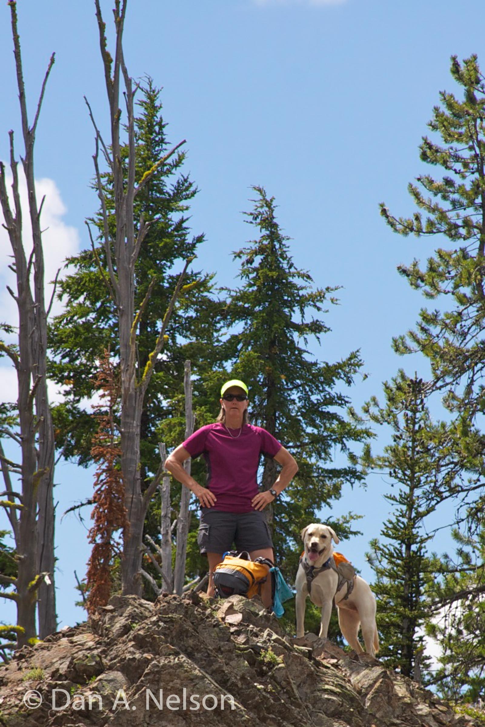 At one mile from the trail fork, you’ll reach a ridgetop saddle (6,150 feet elevation) on the southern flank of Earl Peak. From here you can look back down the valley you just climbed and look east to the deeper and wider cut of Stafford Creek Valley. Overhead (to the north) looms Earl Peak. Turn around here.
Map Data: Bean Creek Basin & Earl Peak Saddle (.kml & .gpx track logs)
Directions
From Cle Elum drive east on State Route 970, cross the Teanaway River Bridge, and in another mile, turn left onto the Teanaway River Road, which becomes Forest Road 9737 at 29 Pines Campground. Continue 3.8 miles past the end of the paved section of the road to turn right (north) onto Beverly Creek Road (FR 9737-112). Drive about 1 mile to the road’s end and trailhead.