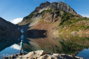
The lush, moss-laden forest is reminiscent of the rainforests of the Olympic Peninsula, for good reason. The western foothills of the Cascades can get twice as much annual rainfall as the Puget Sound area, making the low forests of these regions wet, mossy and rich in plant (and animal) life. In short, a rainforest. The trail here is short, but scenic, perfect for late-season hikes when the days are short and hiking time is at a premium.
- Distance: 7.8 miles, round-trip (out-and-back)
- Elevation:
- High point – 2,550 feet
- Elevation change – 400 feet
- Best Season: April – June
The trail angles into the forest on the south side of the White River, and though it parallels the highway, that road is on the far side of the river, so it is out of sight and hearing. Bigleaf maples and a few scrub oaks fill the spaces between the hemlocks and Douglas firs.
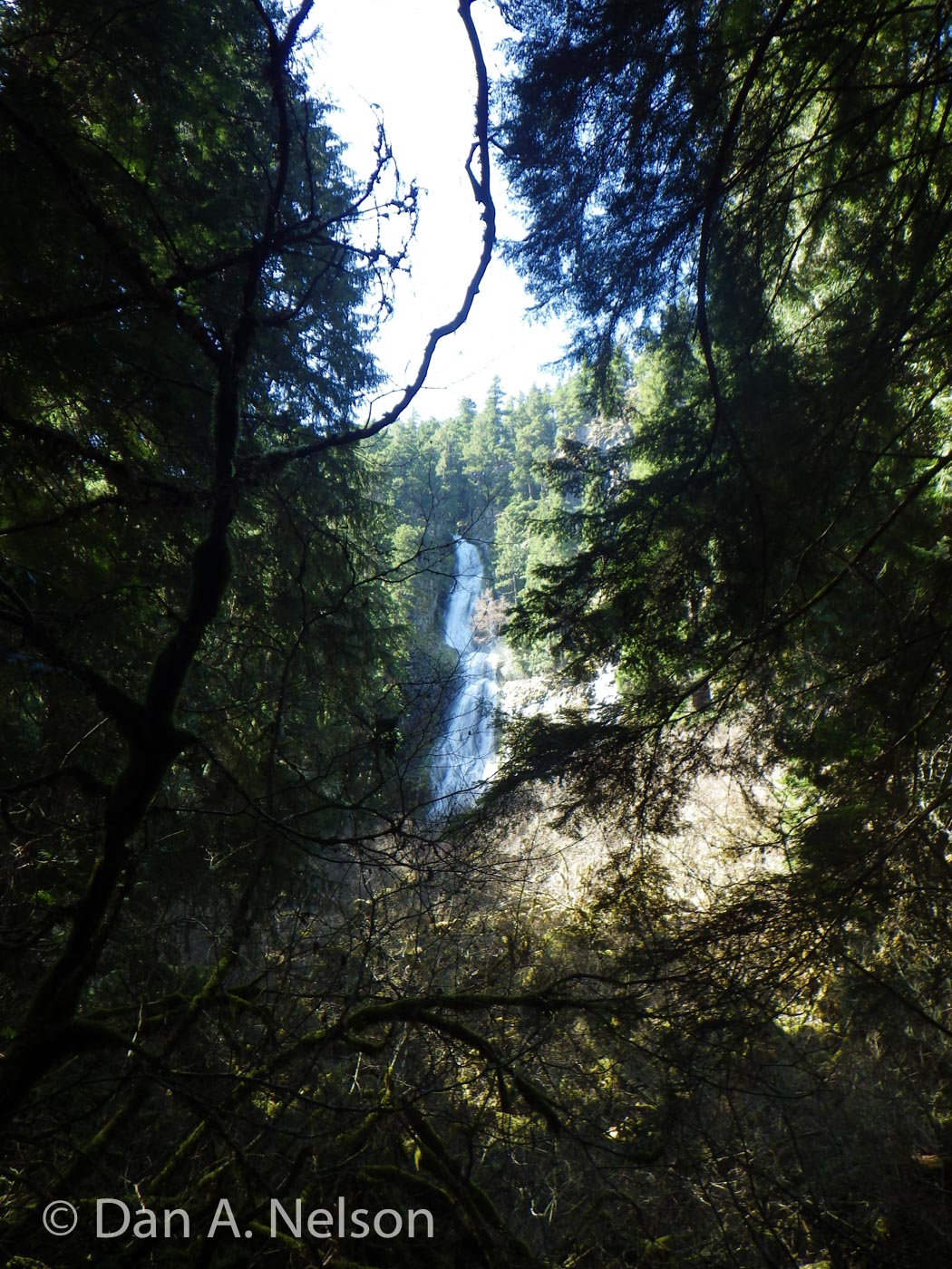
 The trail wanders through the woods, with a frequent view of the tumbling river, for just over 2 miles before reaching a view of the tall cascade of Skookum Falls. When the trail crosses Skookum Creek, you’ll find a small sign — “Falls” — pointing south up a faint, rough footpath. A few moments of scrambling up this path brings you to the spray-soaked rocks at the base of the falls. Note that Skookum Falls is impressively tall always, but it’s at its most majestic when its running full bore in late spring/early summer.
Turn around at the falls for a 4.5-mile trek. Or keep hiking upstream along the Skookum Flat Trail for another couple miles before turning back at the point where the trail ends after crossing a suspension bridge over the river to lead back to Highway 410.
Map Data: Skookum-Falls-Flats (.kml & .gpx track logs)
To get there, from Enumclaw, drive SR 410 east and then south for 25 miles. Turn right onto FR 73 and drive 0.5 miles to the trailhead just beyond the bridge.
[ngg src=”galleries” ids=”14″ display=”pro_horizontal_filmstrip”]