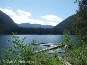
It’s a short hike, but one to tax the strength of even the toughest hikers. But the strenuous climb earns you great rewards. The top of Thorp Mountain sports a rustic old fire lookout cabin, and anywhere these watch stations were constructed you’ll find outstanding views in every direction. Thorp is no different—from the heather-carpeted top of the peak, you can scan the horizon in every direction, picking out peaks and valleys throughout the Alpine Lakes Wilderness, but also down into the south Cascades (Mount Rainier can be seen on clear days). The ridges rolling away from the mountain sport colorful flower meadows, and the blue pool of Kachess Lake sparkles in the deep valley at the foot of the mountain.
- Distance: 7.5 miles, round-trip (out-and-back)
- Elevation:
- High point – 5,884 feet
- Elevation change – 2,480 feet
- Best Season: August – September
The trail climbs steadily but modestly as it parallels the tumbling Thorp Creek. Keep your eyes wide open and you might spot lots of wildlife along the lower trail, especially as the path leaves the stands of forest and pops briefly into old, overgrown clearcuts. These transition zones are popular places for deer to hang out since they provide good cover (the forest) as well as close proximity to good browse (the clearcuts).
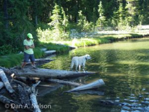
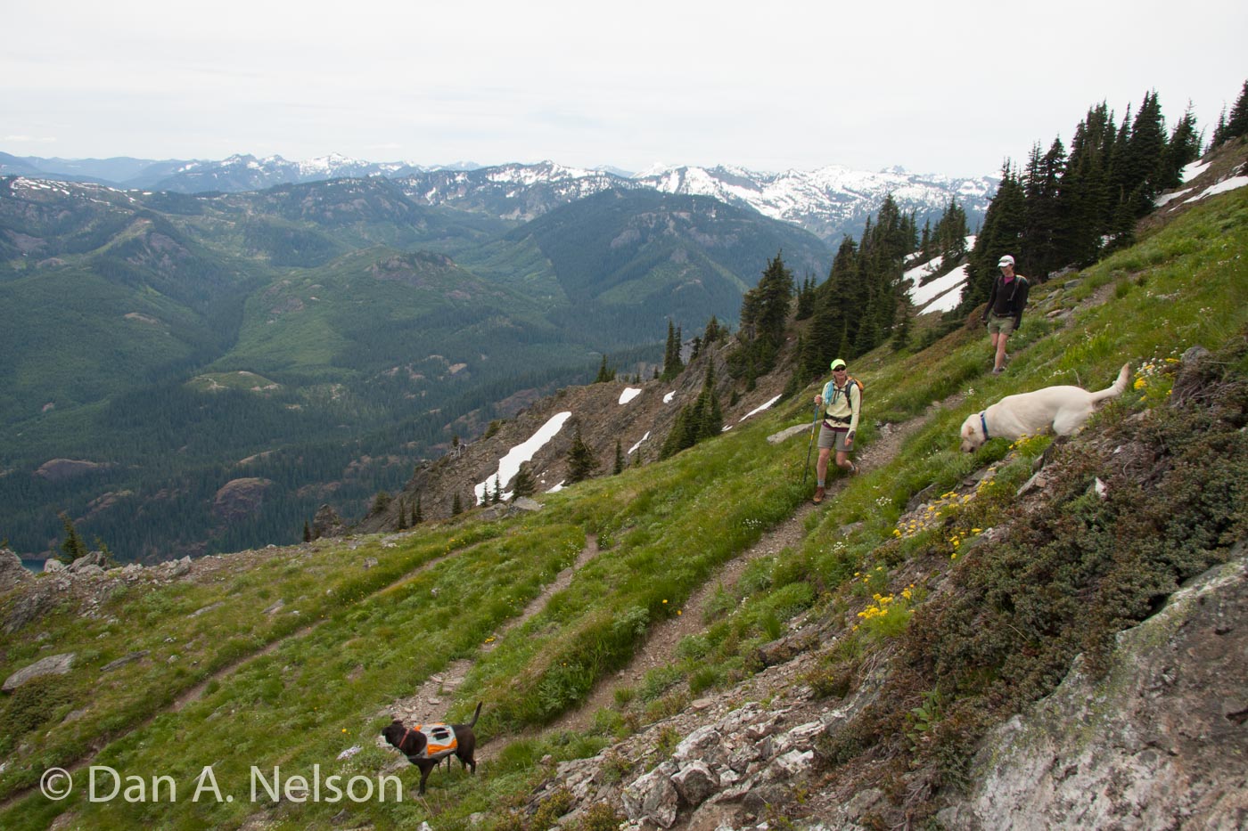
About a mile and a half from the gate, the trail starts to climb more steeply, angling upwards away from the creek. As it gains elevation, the forest thins more and more, providing more sun breaks and viewpoints. At nearly three miles, a small side trail drops a half-mile to Thorp Lake. If time permits, this makes a nice side trip on the return. But on the way up, bypass this trail and continue climbing as the trail sweeps upward around the headwall of the Thorp Valley.
At three miles, another junction is reached, this time with the Kachess Ridge Trail. Stay left as it angles west around the flank of Thorp Mountain and in less than a quarter-mile, go right to climb the steep scramble trail to the top of the mountain and its awesome views.
Map data: Thorp Mountain (.kml & .gpx track logs)
To complete the loop, drop back down the Kachess Ridge Trail and follow it northeast along No Name Ridge for 1.5 miles. At that point, about 4.5 miles from the trailhead, turn right onto a faint trail heading west and follow it to Little Joe Lake, at 7 miles. This trail can be brushy and hard to follow at times. At Little Joe, turn right and descend 1.5 miles along the trail back to the trailhead.
Directions:
take Exit 80 off Interstate 90 (signed “Rosalyn/Salmon La Sac”) and head north on the Salmon La Sac Road about 15 miles, passing through Rosalyn and past Cle Elum Lake. Just past the upper end of the lake, turn left onto French Cabin Road (FS Road 4308). Drive three and a quarter miles up FS 4308 to FS 4312 on the right. Go right and drive 1.5 miles to another road junction, with FS 4312-121. This road is typically gated, so park here (do not block the gate), and walk around the gate a walk a quarter-mile to a bridge over Thorp Creek. Cross the creek and turn left. The true trail starts a quarter mile up this road on the left.
[ngg src=”galleries” ids=”16″ display=”pro_horizontal_filmstrip”]