 The hike to Margaret Lake starts with a whimper but finishes with a bang. The trail leads off up a rough dirt road that fades into a rough trail into an old clearcut area east of the Cascade rim.
- Distance: 6 miles, round-trip (out-and-back)
- Elevation:
- High point – 5,100 feet
- Elevation change – 1,500 feet
- Best Season: August – October
That clearcut, though is several decades old and the trees are starting to really fill in, but no so much that they shade-out the vast fields of huckleberries that line the first few miles of the route. And if the huckleberries aren’t ripe when you visit, you’ll find paintbrush, lupine, columbine, and other wildflowers coloring the trail.
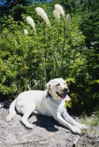
To start your hike, head up the gravel road leading past the parking lot and in 0.25 miles veer left onto a small dirt road. Hike around an old cable gate and climb the dirt road as it slants steeply upward into an old clear-cut. Don’t let the ugly connotations of that label fool you, however. This field of stumps has been reclaimed by native flora–acres of huckleberries punctuated by an array of wildflowers. Beargrass, lupine, paintbrush, tiger lilies, fireweed, and more grace these slopes.
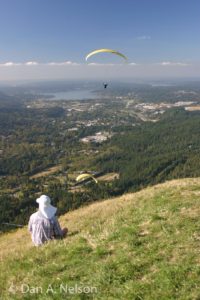
The road peters out in 0.5 miles and the narrow trail weaves upward, providing great views south over Keechelus Lake and back up toward Snoqualmie Pass. As you near the ridge Mount Rainier comes into view far to the south, too.
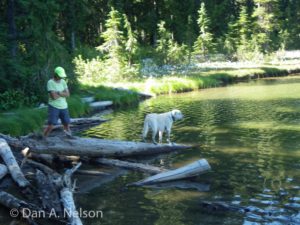
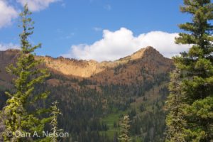
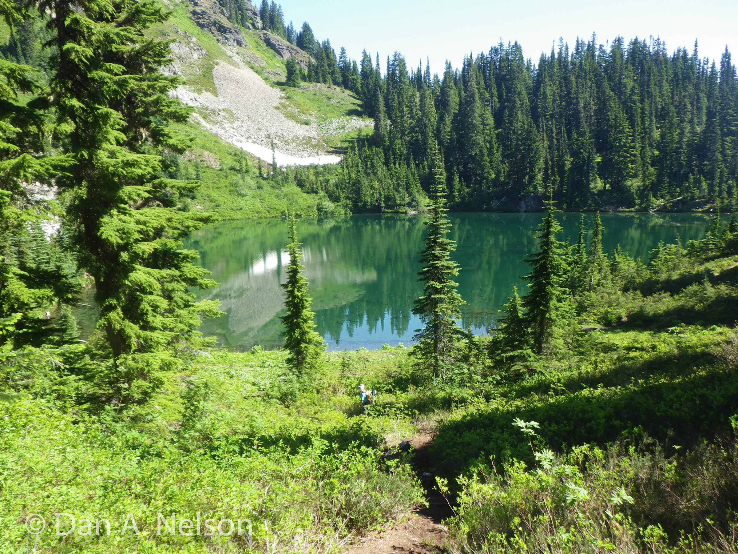
About 1.5 miles from the trailhead, the trail enters the forest and, at 2 miles, reaches a junction near the ridgeline. To the left is Lake Lillian (Hike 69). Turn right instead to cross the ridge and descend a steep mile to Margaret Lake. The lake is a wonderful place to relax and enjoy a refreshing dip after lunch before heading back up and over the ridge.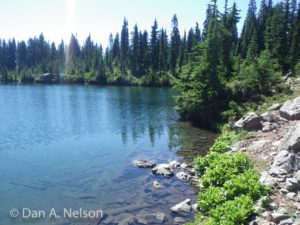
GETTING THERE
From Seattle drive east on I-90 to exit 54 (signed “Hyak”). Turn left (north) under the freeway and right on the frontage road marked “Gold Creek.” After about 0.5 miles hike past the turn for Gold Creek Road (hike 67) and continue straight on FR 4832, driving east, parallel to the interstate briefly before the road angles upward. At 3.9 miles from the freeway turn left onto FR 4934, and in 0.25 miles look for the parking lot on the left.
[ngg src=”galleries” ids=”15″ display=”pro_horizontal_filmstrip”]